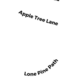
36 APPLE TREE LN
Owner Information
EMMONS SAMUEL F & SARAH D
36 APPLE TREE LN
WEYMOUTH, MA 02188


Property Details
36 APPLE TREE LN is classified as a Single Family Residential (Cape).
The primary structure on this property was built in 1944. There are 1,080ft2 of built area within this property. There is 1,080ft2 of residential/living space within this property. This property is listed as having 6 rooms.
36 APPLE TREE LN is valued at $440,700. The land is valued at $179,900 and the structures are valued at $259,800. There is an additional valuation of $1,000 on this property.
The most recent deed for 36 APPLE TREE LN is recorded at the local registrar in Book 36912, Page 361. 36 APPLE TREE LN was last sold on Wednesday, June 26, 2019 for $399,000.
Assessment data from fiscal year 2022.
Flood Data
According to the FEMA National Flood Hazard Layer, this property does not appear to be in a flood zone. It may also be in an area not yet reviewed. Nonetheless, confirm this information prior to taking any action.
To view the flood hazards around this property, create a FEMA "Firmette" Map of the area around 36 APPLE TREE LN.
Broadband Internet Providers
| Provider | Type | Bandwidth (mbps) | |
|---|---|---|---|
| VSAT Systems, LLC. | Satellite | 2 | 1 |
| Verizon New England Inc. | DSL | 10 | 1 |
| Comcast | Cable | 1000 | 35 |
| Viasat Inc | Satellite | 100 | 3 |
| GCI Communication Corp. | Satellite | 0 | 0 |
| HughesNet | Satellite | 25 | 3 |
Broadband service provider data from December 2020.
Adjacent Properties
- 19 LONE PINE PTH
Single Family Residential owned by MIHALOPOULOS ERNEST & BRENDA - 15 LONE PINE PTH
Single Family Residential owned by AKOURY JENNIFER A - 7 LONE PINE PTH
Single Family Residential owned by DOYLE JOHN F & RITA E - 28 APPLE TREE LN
Single Family Residential owned by SWADOS HARRISON ZACHARY & - 42 APPLE TREE LN
Single Family Residential owned by CAMPITELLI KAREN L &